In the mid-eighties was hatched a phrase that has survived:
What does not come on TV does not exist.
Updating the sentence could be said today that what is on the Internet does not exist. Maybe in the Internet of the century the phrase was more rigorous. With "Web 2.0" witnessing the emergence of "beings" that live on the Internet, are unreal, false or mendacious directly. A communication expert said that surfing the Internet is a great loss by the amount of crap that any idiot can hang in there with minimal effort. A search on this:
"Surfing the internet is a waste of time"
About 291.000 results (0.34 seconds)
(For the Google search engine)
Happily, in Web 2.0 have been posted some other things. Many companies and public agencies have opened their databases for free public access. The implementation of various protocols for exchange and delivery of data makes the flow between our PCs and servers more sophisticated, quick, safe and generally satisfied. Of these services, perhaps the most striking are the "map servers".
The "champion" is undoubtedly Google Earth. Spectacular and very fast, we put the whole world (not just Earth) on the screen with a mouse. If you look only on aerial photographs, we might underestimate their abilities. Because really what it offers is not just a series of pictures more or less striking and orderly. If you activate the "relief" will discover that the photos are highly adaptable to the topographic relief of the area "visited". If you enter an address in the "fly" or geographic coordinates, we will realize the huge amount of data that Google Earth is driving to work this wonderful Atlas Digital.
In recent years, that wealth of data is available to the general public. Not only through the programs of each company, but from anyone who meets minimum standards, APIs. Technical specifications (different for each company / server) that makes data exchange easy, fast, almost "real time". And the couple access requirements are very few: a record of the application that will use the API and give an address personal e-mail. From there, programs can use the APIs to download data of many types: vector and bitmap, altimetritas, maps, street maps, aerial photos, satellite DTMs (Digital Terrain Models, etc.). Etc.
Several programs have flooded the market with the idea of becoming the "browsers" for this vast "zone" the Internet. To use them you just need to find the API specification, introduced in the program and this is responsible for searching the protocol exchanges, learn the rules of shipping-wait-recepcción and offer what the server contains. Really great. What is the problem? The data come to us in a very technical formats. For example, a photo or orthophoto (Aerial photo) is usually JPG file, as does our digital camera. But not worth an orthophoto for almost nothing if it is not georeferenced. That is, accompanied by some information that locate on the land surface, east and telling you how much area it represents. And here things get complicated. There must be many data formats to do this, as companies are dedicated to it. Vector data cause the same headaches or more. You have to save in a format, translate it into another to our drawing program to understand. Continuous improvements versions produced clashes, often intractable, entities that are not interpreted well, failed conversions or directly wrong, etc. ..
Bridging these difficulties is what I have tried my program:
- To communicate with servers Autocad most interesting data, transparently to the user.
- Select the information they provide.
- Downloading to your PC and ...
- Convert AutoCAD entities accessible, the kind that we usually use.
Thus, we can get pictures and maps of Google Earth, Bing, YAHOO MAPS and IGN (National Aerial Orthophoto) and SIGPAC Service (Farming Land Geographical Information). We can also get off the altimetry servers that offer them. And any more data. And it all goes directly to the current AutoCAD drawing, ready for work and UTM coordinates.
The limitations are few. The law on each server, the better to see them in their own websites. But the volume of data to import is obviously limited. For example, each user can download in 24 hours, "only" 25,000 altimetry Google Maps. Some image servers have been literally "ransacked," They have installed filters to prevent abuse and stop serving images occasionally for a few hours. The service is usually recover without further problems.
In that vein we work with topographical data of Internet 2.0.
A greeting from Julen Martinez.

COMO AHORRAR 75 MILLONES DE EUROS EN UN PROYECTO. Blog sobre Autocad y los modelos topográficos en 3D generados a partir de datos de Internet. Usos prácticos para generar planimetrías.
Como ahorrar 75 millones de € en un proyecto.
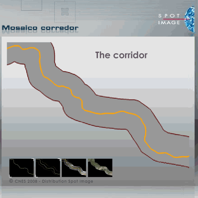
COMO AHORRAR 75 MILLONES DE EUROS EN UN PROYECTO. De: http://www.spotimage.com/web/es/1836-ingenieria-civil-infraestructuras-de-transportes.php
Desfiladero de la Hermida - Renderizado
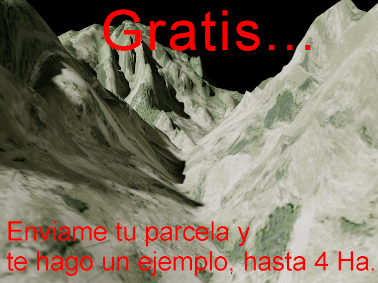
Hermida render